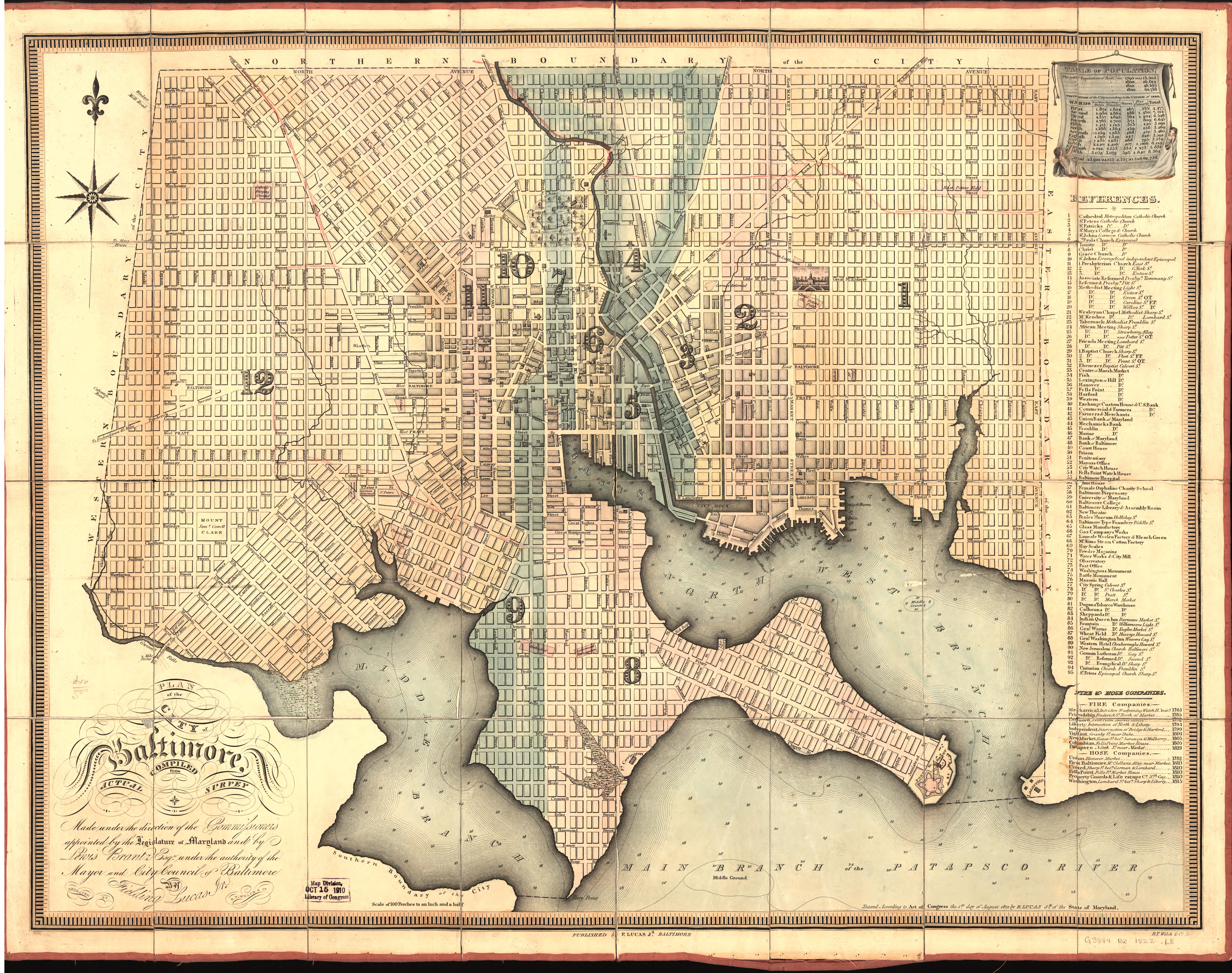
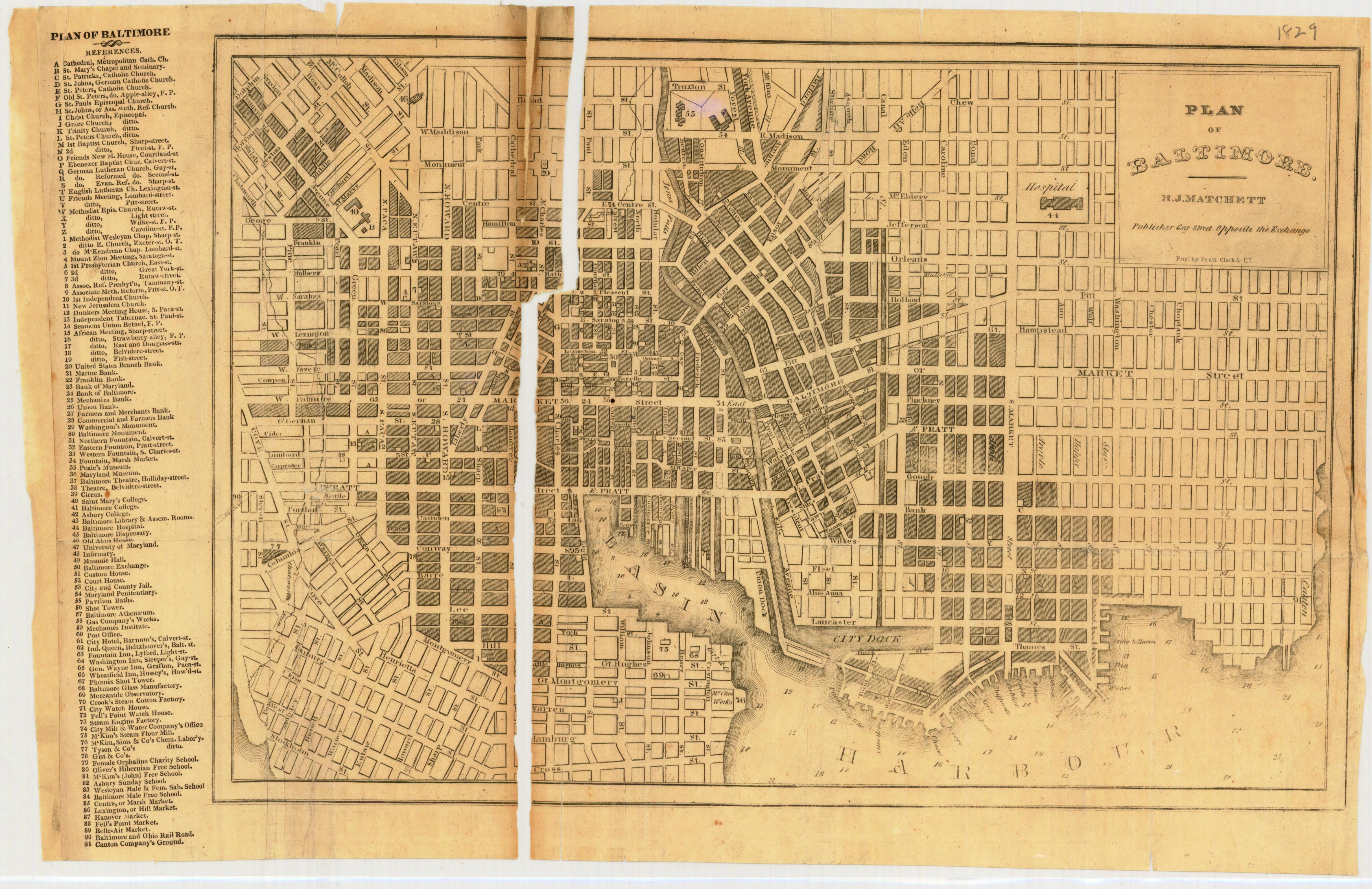
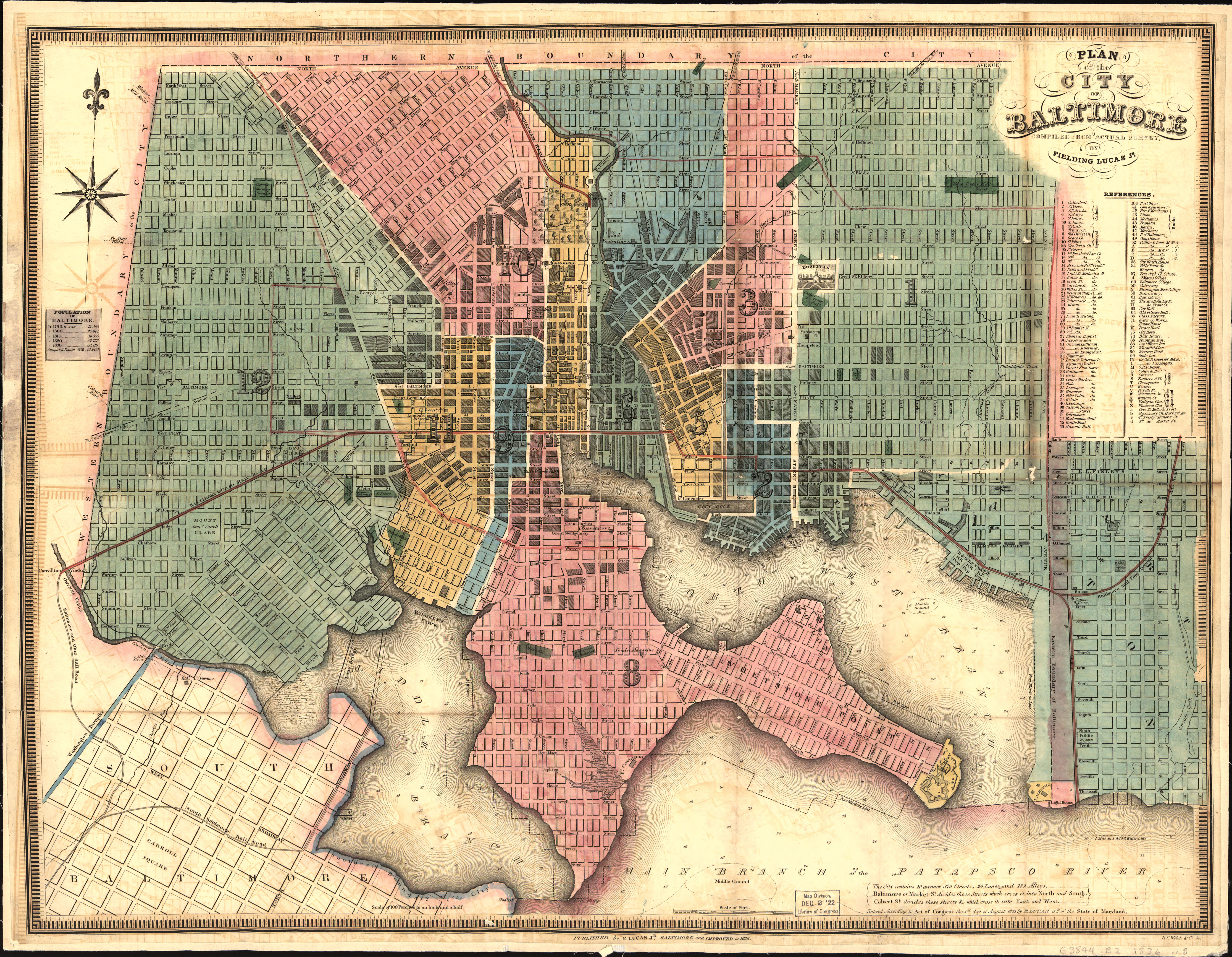
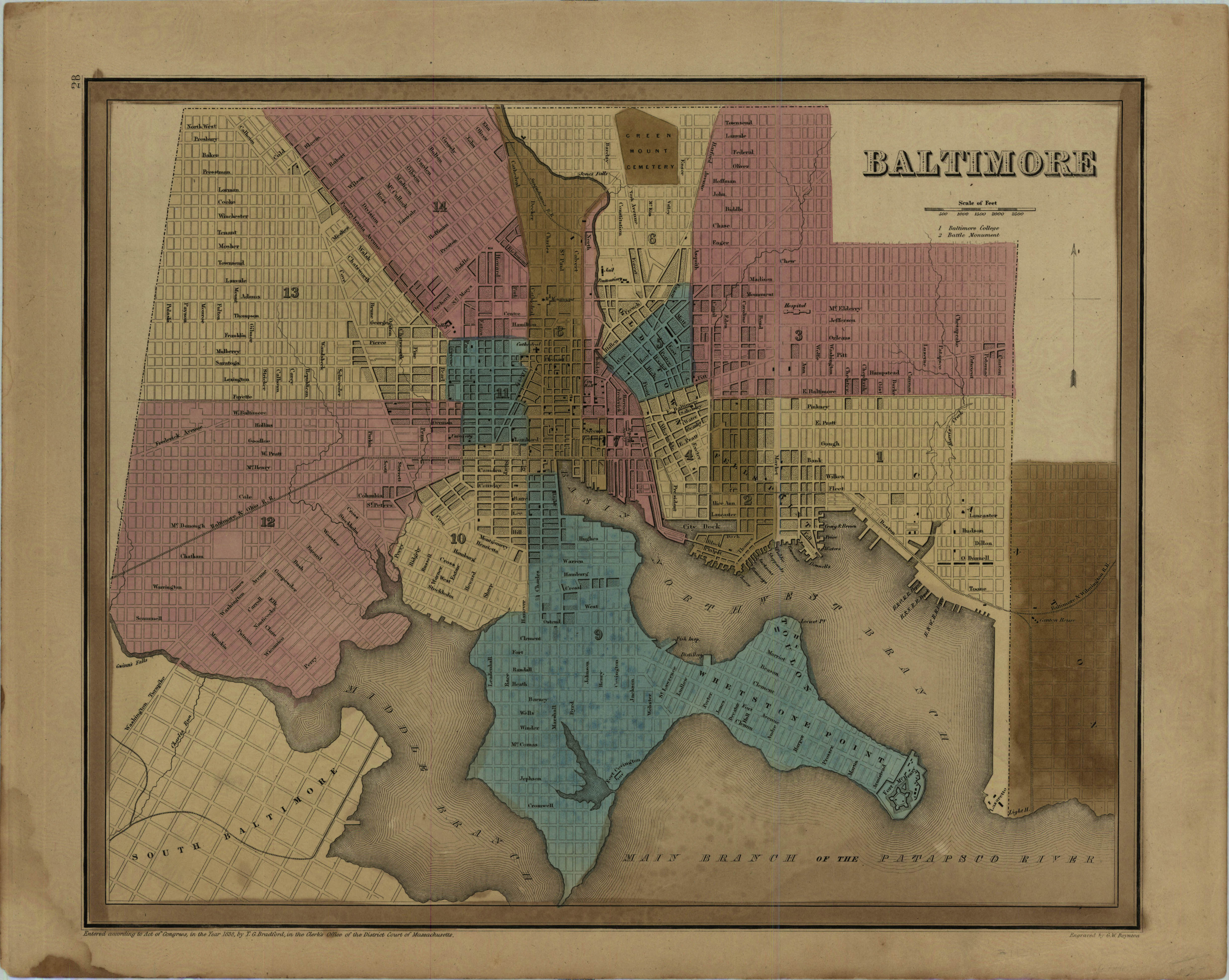
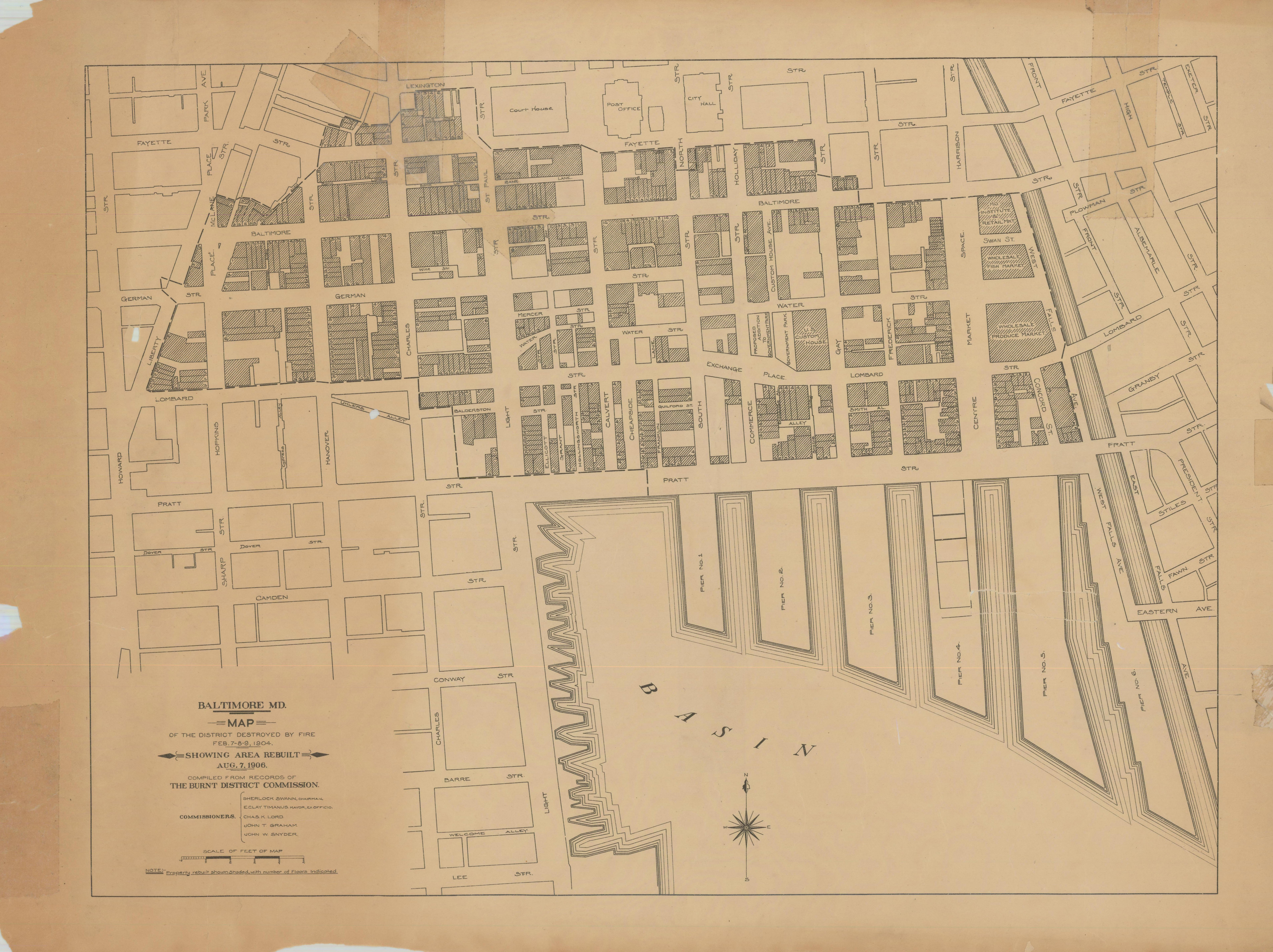
Research helpersHistoric maps for Baltimore City and areaThe Archives, and other sources, contain numerous maps for Baltimore City and area that help to provide a better picture of the environment in which your ancestors lived. The following are helpers to navigate the many images.
|
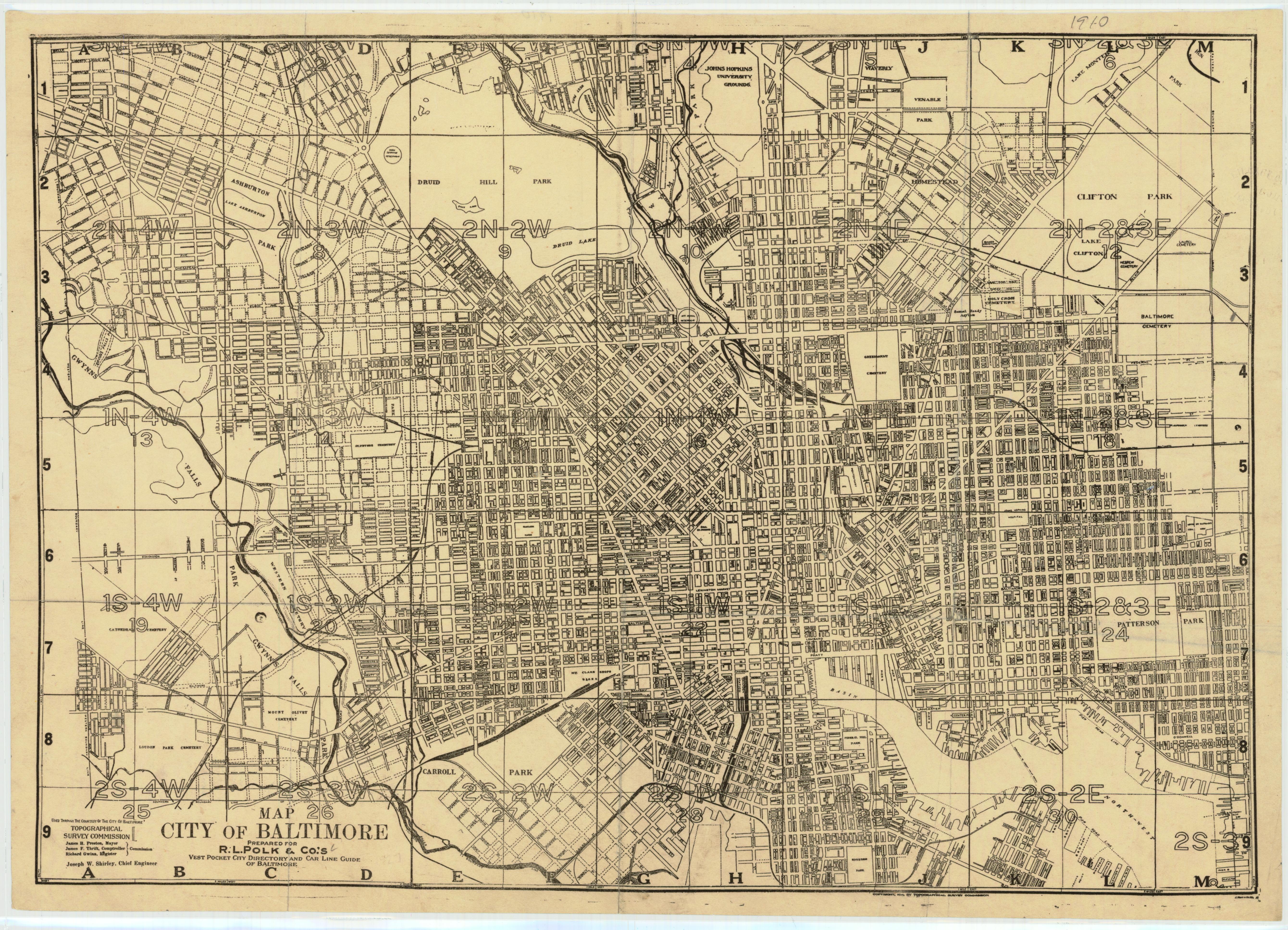
Sanborn Insurance maps were originally created to estimate fire insurance risks, so they provide lots of information about the types of construction of houses and the use of buildings. The Archives contains many scanned images, but they are hard to find. The list can be found at Special Collection 2907 but, once you get to the right microfilm copy, it is hard to find the right image. The following provides indexes and links to the specific images:
|
Index maps and finding aids: |
Links to starting image (click on desired year):
|
HopkinsBromley Maps
Additional useful links
|
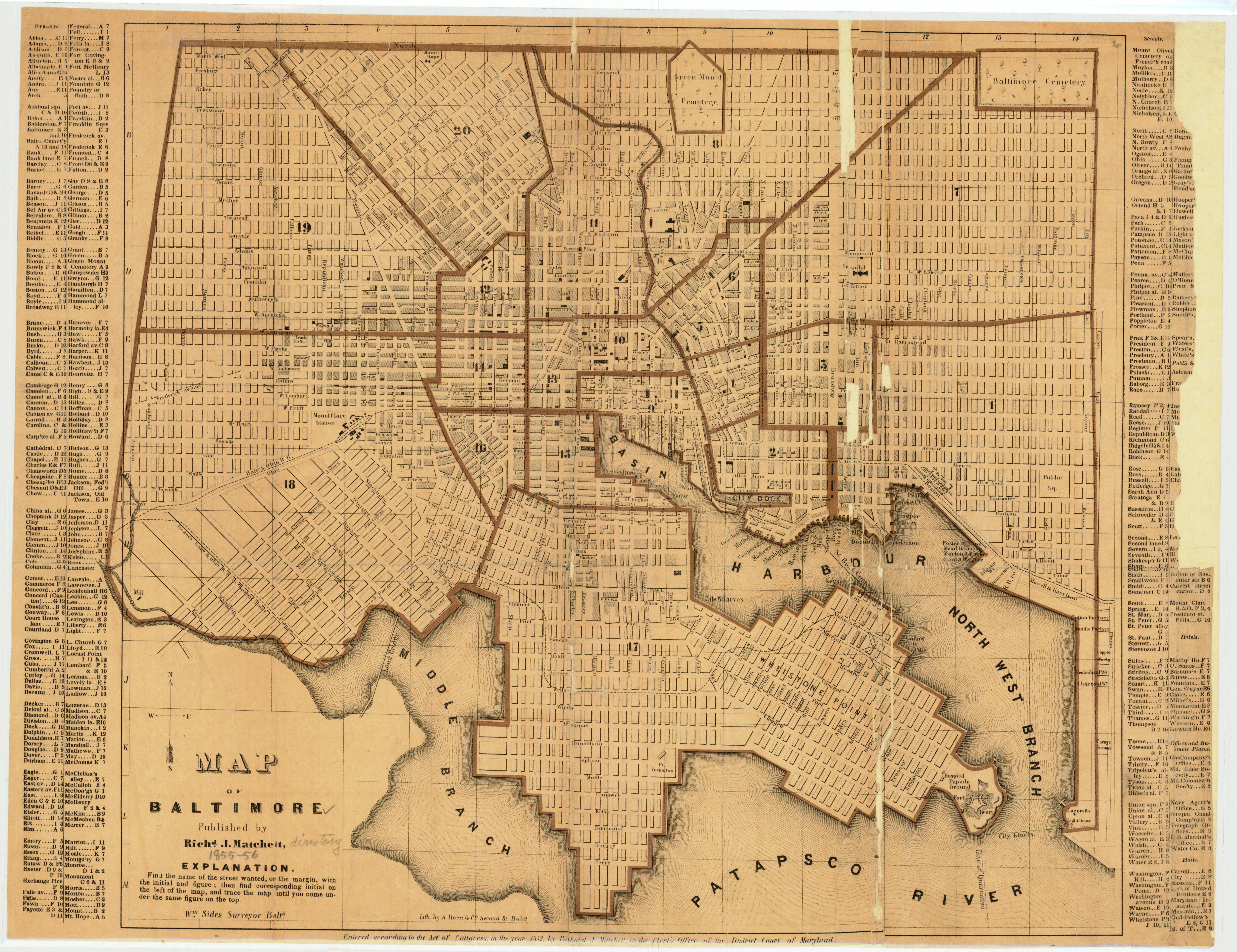
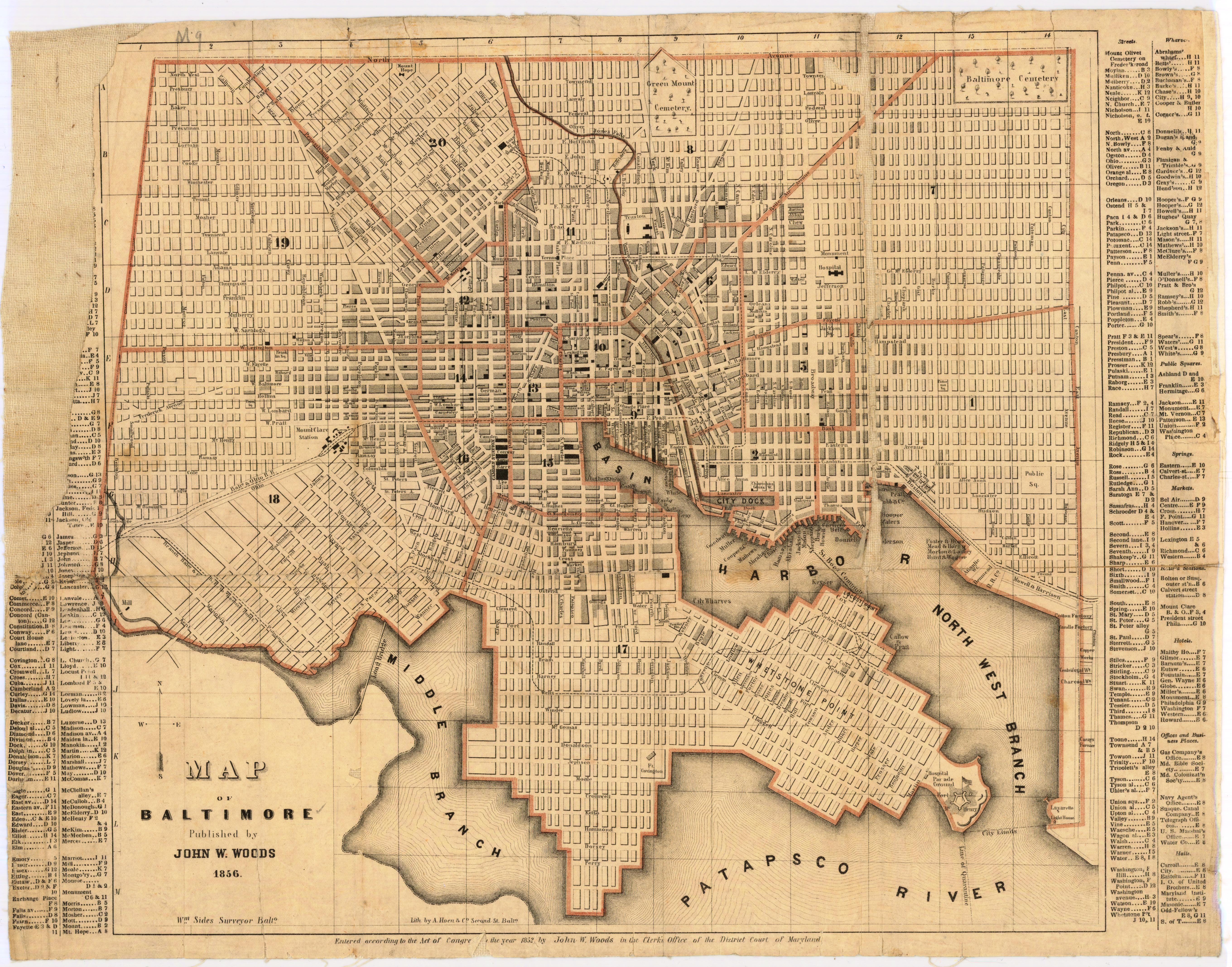
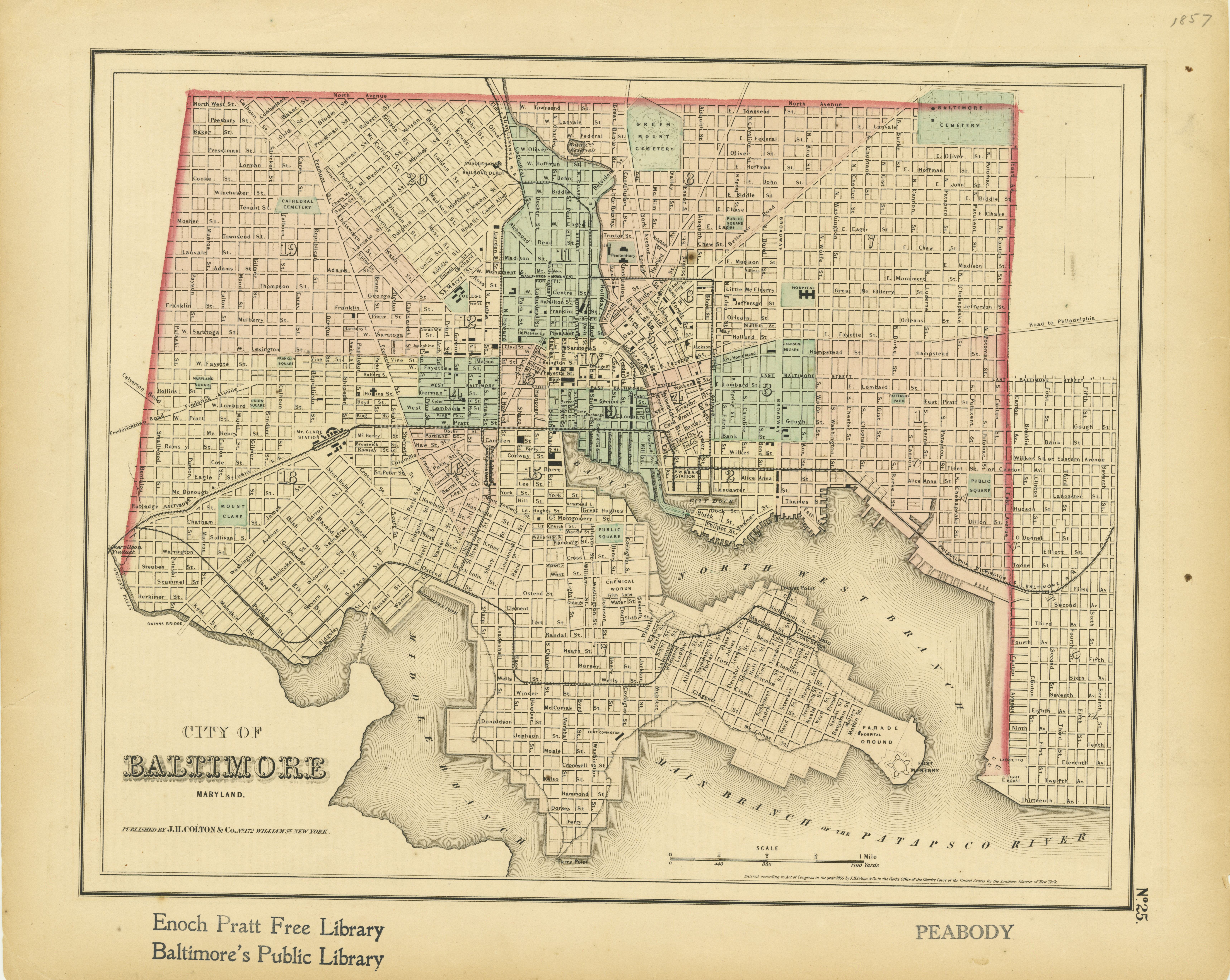
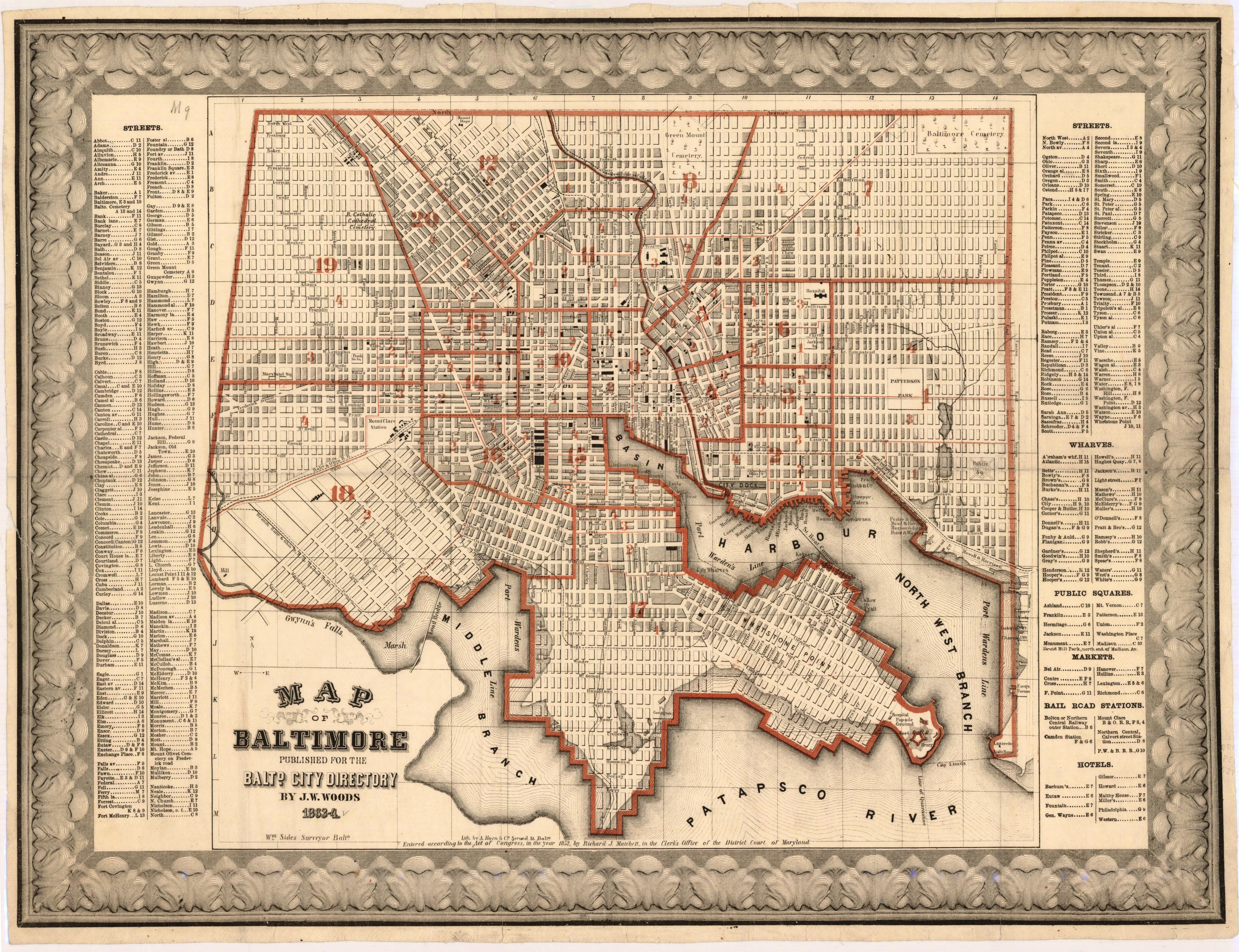
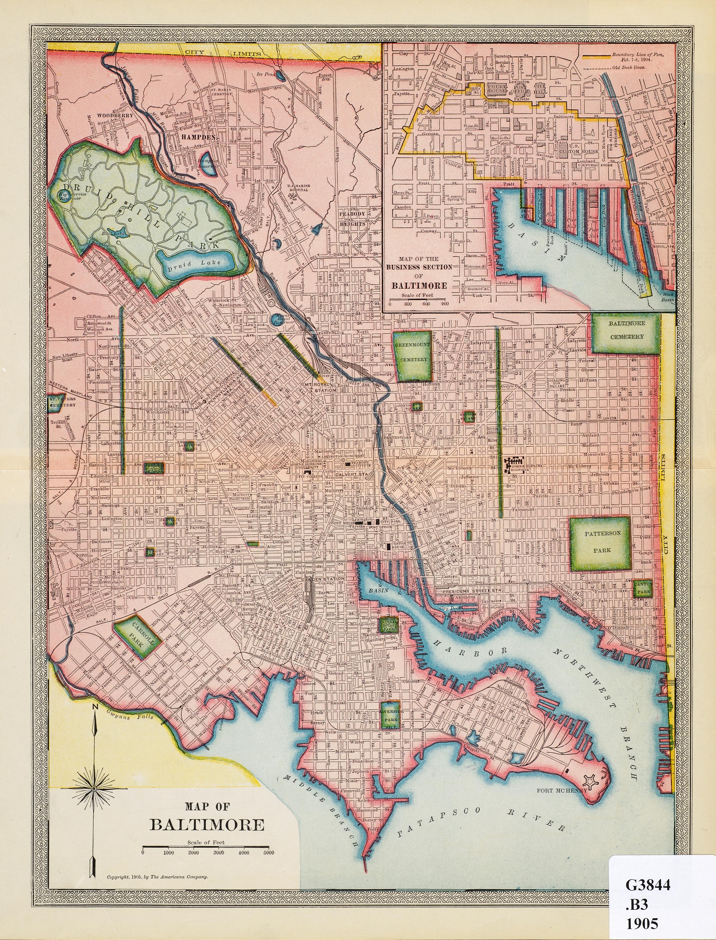
Martenet MapsOne of the earliest makers of detailed maps is the |
Other
|
Updated 6 May 2022